|
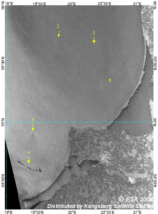
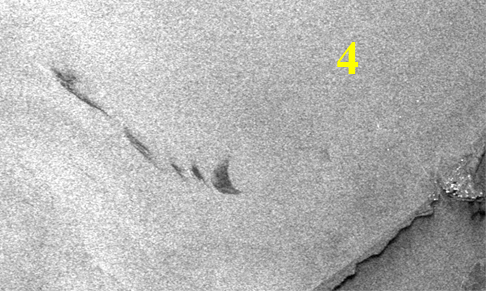
1 - oil platform 2, 3 - ship wakes 4 - oil spill 5 - center of cyclonic eddy |
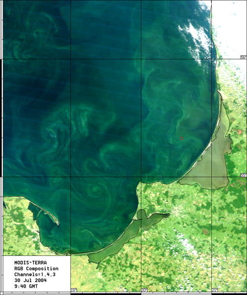
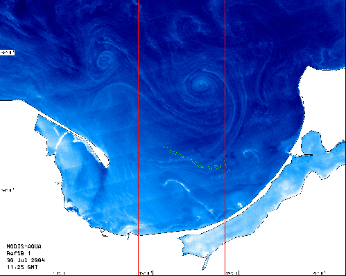
 Oil spill fragmented into 5 parts due to the impact of wind and waves: 6.42, 3.80, 0.89, 1.69, and 7.53 sq. km ( left to right). The earlier stage of the oil spill can be well seen in the Aqua MODIS image taken at 11:25 on the same day (see below). Meanwhile, Aqua Terra image taken at 9:48 bears no traces of the spill (see below on the left). |
|
|
Envisat ASAR, WSM, VV-polarization July 30, 2004 at 20:08 UTC Southeastern Baltic Sea |
|

|

Green contours mark the position of the oil spill on the ASAR image taken at 20:08 the same day (see above) |